Getting Around Salvador Without Renting a Car
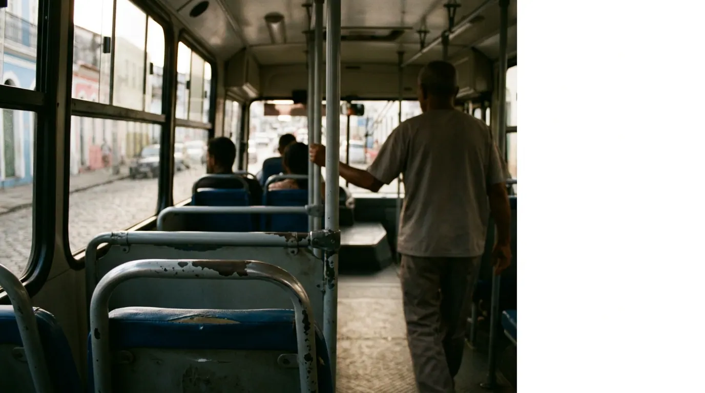
Generated (Gemini), via Wikimedia Commons
You don't need a car in Salvador. In fact, a car works against you in most of the city. The streets in Pelourinho and Cidade Alta are narrow, cobbled, and one-way in ways that don't match any map app. Parking is scarce and guarded parking lots charge enough per hour that a week of them costs more than just taking rides everywhere. I spent eleven days there without touching a steering wheel and never once wished I had one.
What the problem actually looks like
Salvador is split into Cidade Alta (upper city) and Cidade Baixa (lower city), connected by a cliff. The historic core, Pelourinho, sits up top. The port, the ferry terminal, and some business districts sit down below. Between them is the Elevador Lacerda, an old public elevator, and a few steep roads that switch back like a mountain pass. If you're walking between the two levels without using the elevator, you're looking at stairs and slope that will wreck your knees by day three.
Then there's the fact that Salvador's neighborhoods worth visiting, Pelourinho, Barra, Rio Vermelho, Ondina, the Santo Antonio guesthouse strip, are spread along a long curve of coastline and hillside. They are not close together. Walking from Barra to Pelourinho is a bad idea. It's several kilometers, much of it along busy roads with no real pedestrian infrastructure for tourists carrying bags or wearing sandals.
Why it happens
Salvador grew up on a peninsula shaped by colonial-era defense needs, not modern traffic planning. The old city sits high for a reason, it was easier to defend from the water. Everything built since then has had to wrap around that geography instead of flattening it. That's why the layout feels like two or three different cities stitched together rather than one continuous grid.
Public transit followed the same pattern late and incompletely. Salvador has a metro, but it has two lines and neither one runs through Pelourinho or along the main beach strip where most visitors spend their time. It was built mostly to move commuters from outer neighborhoods into business districts, not to connect tourist sites. Buses cover more ground, but the system isn't set up for someone unfamiliar with it. Routes aren't always posted clearly at stops, change is handled differently than in some other Brazilian cities, and buses can get crowded enough that pickpocketing becomes a real, not theoretical, risk.
App-based ride services filled the gap that transit left. Uber and 99 are both widely used in Salvador, by locals as much as visitors, and that's really what makes going carless workable. Drivers know the city, fares are metered through the app so there's no haggling, and you're not standing on a corner trying to read a bus schedule in a language you may not fully read.
What we do about it
The practical approach is to treat Salvador as a series of walkable pockets connected by short app rides. Inside Pelourinho, inside Barra, inside Rio Vermelho, you walk. Between those pockets, you take a car. This keeps costs low and keeps you off roads that weren't built with pedestrians in mind.
- Base yourself in one neighborhood and use rides to reach the others rather than trying to cover ground on foot each day.
- Use the Elevador Lacerda to move between Cidade Alta and Cidade Baixa instead of the stairs or road switchbacks. It runs regularly and the fare is small, a few centavos to a couple of reais depending on when you check.
- Budget rides as a daily line item, not an occasional splurge. A short hop across a neighborhood might run somewhere in the R$10 to R$20 range, and a longer cross-town trip, say Barra to Pelourinho, is more often in the R$30 to R$60 range depending on traffic and time of day. These are rough figures and they move with fuel prices and surge pricing, so treat them as a planning range, not a quote.
- Avoid walking between neighborhoods after dark, even short distances. This isn't unique to Salvador, but the gaps between tourist areas here are long enough that a short app ride is cheap insurance.
- Use buses only if you've got time to spare and someone local walking you through it the first time. They're fine once you understand the system, but the first attempt alone, with luggage, during a trip with a fixed schedule, is where things go wrong.
For day trips outside the city, like to Morro de São Paulo or Praia do Forte, you're looking at boats, vans, or organized transfers rather than driving yourself anyway, since car rental doesn't buy you much there either.
What it costs to ignore
Renting a car in Salvador mainly costs you in friction, not in a single dramatic incident. You'll spend time finding parking that doesn't exist near your hotel. You'll pay for guarded lots that run a meaningful amount per day, often more than you'd spend on rides for that same day. You'll deal with narrow one-way streets that GPS doesn't always get right, and with local driving habits that take adjustment. None of this is dangerous exactly, it's just slower and more expensive than the alternative.
The bigger cost of ignoring the two-tier geography is physical. Walking the steep connectors between Cidade Alta and Cidade Baixa repeatedly, especially in Salvador's heat, adds up by the third or fourth day. Knees and backs complain. It's a cost you pay in fatigue rather than money, but it's real, and it's avoidable.
FAQ
Is Salvador walkable at all?
Yes, within neighborhoods. Pelourinho itself is very walkable and best explored on foot, cobblestones and hills included. The mistake is trying to walk between neighborhoods rather than within them.
Should I use the metro?
Only if your route happens to align with it, which for most visitors it won't. It's useful for some outer business or residential trips, but it doesn't reach the historic center or the main beach neighborhoods.
Is it safe to use ride apps at night?
Generally yes, and it's safer than walking between neighborhoods after dark. As with any city, keep track of your ride on the app and wait inside rather than on an empty street corner.
If you're putting together a Salvador itinerary, this is the kind of practical groundwork Window Seat World tends to focus on: what actually gets you from place to place, not just what to see once you're there.
New trip reports as they land
First-person routes, costs and photos from trips actually taken. Join the list.
Join the list